Peaks and pass's, the Alps of Kyrgystan
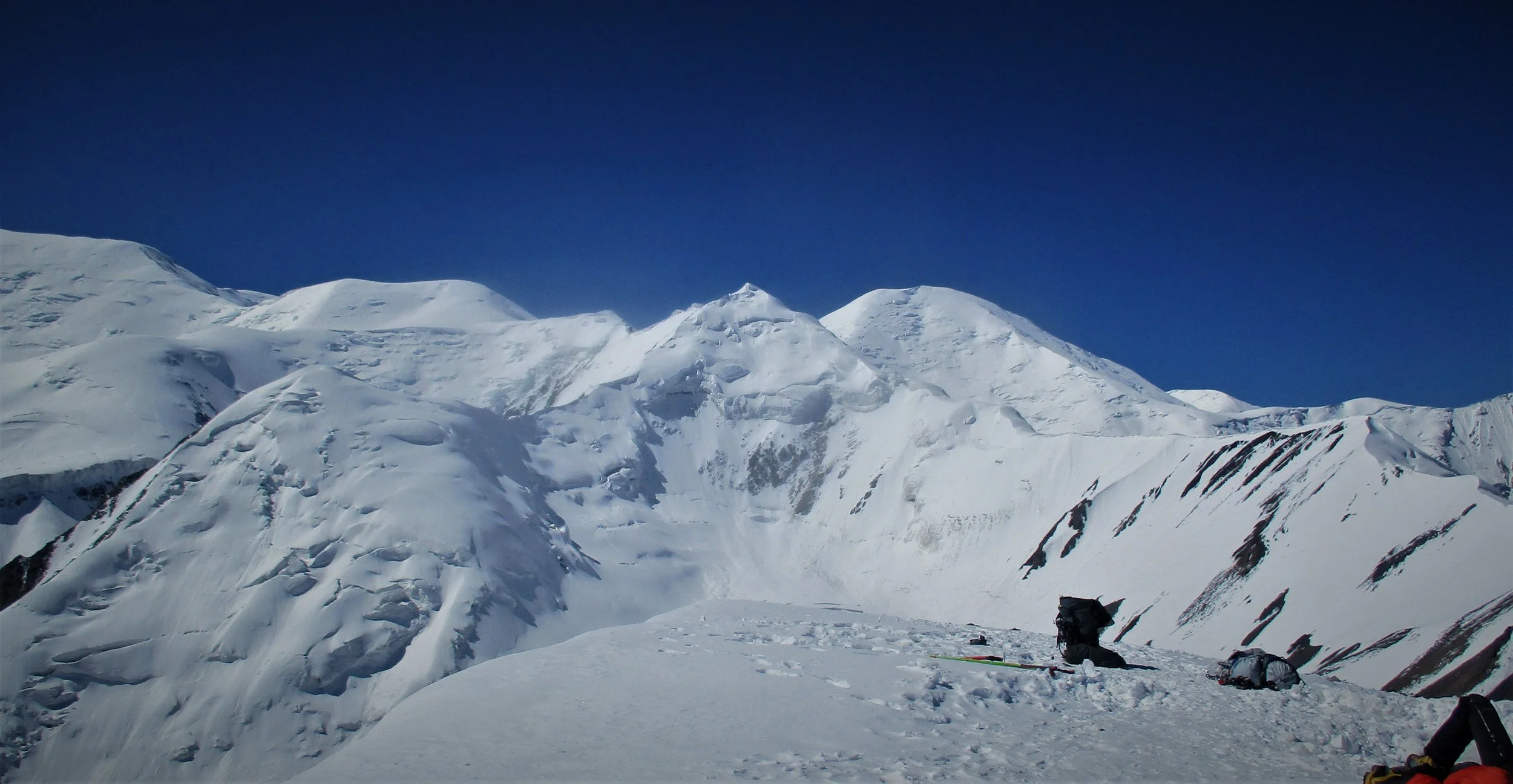
Pik Semionova 4895m from Uchitel 4530m in the Tien-Shanskogo. This spectacular mountain range rises directly more than 4 kms vertically above  the Capital - ,Biskek. 

Pik Semionova 4895m from Uchitel 4530m in the Tien-Shanskogo. This spectacular mountain range rises directly more than 4 kms vertically above  the Capital - ,Biskek.


Going Alpine in Kyrgyzstan

 Although the high point of the trip was the Pamirs what really impressed was the sheer amount of Alpine country in Kyrgyzstan  - in almost every place in the country even the lowest valleys glaciated mountains were visible. The variety of mountain scenery was incredible as well, some days one could find oneself in the European Alps or the Rockies, maybe here in New Zealand or on the Tibetan plateau! There were peaks, valleys , lakes,  rivers  and streams of all descriptions and often on crossing a pass one went from one alpine world to another. This is not a comprehensive post to either my trip or the Alps of Kyrgyzstan , rather I have just picked out some moments/memories  of interest to me on the trip. As the journey progressed so did the scratch's on my camera lens hence the increasingly poor images.  

First pass and first mountain attempt, Teo -Ashoo pass on the old road , an almost 3000 m climb to the pass at 3586 m. Above are the 2 mountains (left side of picture) I was to attempt.

First pass and first mountain attempt, Teo -Ashoo pass on the old road , an almost 3000 m climb to the pass at 3586 m. Above are the 2 mountains (left side of picture) I was to attempt.

Looking down to the North from the summit of Teo -Ashoo Pass.

Looking down to the North from the summit of Teo -Ashoo Pass.

Have no idea what these peaks are named , I called them Teo Ashoo 1 and 2 , around 4000 m in height. They looked straight forward but here was to experience what was to become somewhat normal for many of the subsequent mountains I climbed - they wer…

Have no idea what these peaks are named , I called them Teo Ashoo 1 and 2 , around 4000 m in height. They looked straight forward but here was to experience what was to become somewhat normal for many of the subsequent mountains I climbed - they weren't as easy as they looked - especially with most unstable rock and slope's. Climbed the closer easier peak  but gave up on the knife edge loose ridge leading to the main summit. The following day attempted to circumnavigate the smaller mountain to the easier southern side of its larger neighbor but this proved  to long - apparently I still had a big day on the bike ahead.

Soiuth side of Teo Ahoo pass.

Soiuth side of Teo Ahoo pass.

on the way down

on the way down

Ala Bel Pass - looked like Switerland

Ala Bel Pass - looked like Switerland

summit Ala Bel pass 3184 m

summit Ala Bel pass 3184 m

Dipchik pass 4185 m, in the Alay range , the highest and most difficult pass I crossed , took several bike relays over the pass in centre picture.

Dipchik pass 4185 m, in the Alay range , the highest and most difficult pass I crossed , took several bike relays over the pass in centre picture.

I called it Dipchik 1 , this non- descript pile of rock of about 4400 m proved the most difficult of the 9 different peaks I climbed. It almost compared in difficulty with that mass of moving material I climbed near Nanga Parbat once in sheer loosen…

I called it Dipchik 1 , this non- descript pile of rock of about 4400 m proved the most difficult of the 9 different peaks I climbed. It almost compared in difficulty with that mass of moving material I climbed near Nanga Parbat once in sheer looseness of rock and scree. Like that pile I didn't have the nerve to retrace the ascent in descent and found a much easier way down , just as loose but not so steep. As I had carried nothing but a rain-jacket and left late the dying rays of the sun meant I was kept nervous to the very end in finding my campsite!!

Miles of bike pushing on the descent of Jip Tik pass

Miles of bike pushing on the descent of Jip Tik pass

a couple of budding explorers!!

a couple of budding explorers!!

In Osh  I meet up and had dinner with this very friendly group of Russian mountaineers who came from the Southern Urals and just completed a very interesting 5 week traverse of the Alay mountain range

In Osh  I meet up and had dinner with this very friendly group of Russian mountaineers who came from the Southern Urals and just completed a very interesting 5 week traverse of the Alay mountain range

Dry pass, no water to be had here. many pass's like peaks have  no names - so I liberally gave them appellations of my own. 

Dry pass, no water to be had here. many pass's like peaks have  no names - so I liberally gave them appellations of my own. 

There was a brook at the bottom of dry pass - saved me a thirsty night.

There was a brook at the bottom of dry pass - saved me a thirsty night.

Possibly the hardest pass I actually rode all the way up was this one into the basin that forms Lake. Son Kul - unnamed but there is a slightly lower trekking pass called beside it. called Kortika pass , 3200m.

Possibly the hardest pass I actually rode all the way up was this one into the basin that forms Lake. Son Kul - unnamed but there is a slightly lower trekking pass called beside it. called Kortika pass , 3200m.

Loveliest camp[site was this mountain Alp above Kalmak Shou pass of about 3400m, A nice walk can be had over the peaks behind , the highest not visible in this picture being.roughly 4000 m in height The night was very cold , a sheet of ice covered t…

Loveliest camp[site was this mountain Alp above Kalmak Shou pass of about 3400m, A nice walk can be had over the peaks behind , the highest not visible in this picture being.roughly 4000 m in height The night was very cold , a sheet of ice covered the tent in the morning.

Bokonbaev,  from here thru to Karakol on the Northern shores of Lake Issy Kul was probably my favorite part of the trip -the lower parts of the Tien Shan mountains running along the lakeside.

Bokonbaev,  from here thru to Karakol on the Northern shores of Lake Issy Kul was probably my favorite part of the trip -the lower parts of the Tien Shan mountains running along the lakeside.

Before I left, Nathan Faarve had said Kyrgyzstan remineded him of British Colombia , this area must have been where he went.

Before I left, Nathan Faarve had said Kyrgyzstan remineded him of British Colombia , this area must have been where he went.

Heading up the mighty Barskoon pass - when there is a name like Barskoon on the map its certainly a lure to find out what it denotes

Heading up the mighty Barskoon pass - when there is a name like Barskoon on the map its certainly a lure to find out what it denotes

Despite its size the Barskoon was one of the easier pass's I went up - reason being it was well maintained, apparently for a Canadian mining firm and i was passed by these long lines of tankers more than once - note the zigzags thru the snow above,.

Despite its size the Barskoon was one of the easier pass's I went up - reason being it was well maintained, apparently for a Canadian mining firm and i was passed by these long lines of tankers more than once - note the zigzags thru the snow above,.

The Tibetian like plateau above the Barskoon on the way to the Suek  pass.

The Tibetian like plateau above the Barskoon on the way to the Suek  pass.

apart  from miners vechiles and a couple of shepards it was empty country up there

apart  from miners vechiles and a couple of shepards it was empty country up there

Riding south across the plateau I selected a mountain to climb and it seemed that the furthest  peak , the white glacier center right of picture, was highest and by good fortune the one directly over the Suek  pass.

Riding south across the plateau I selected a mountain to climb and it seemed that the furthest  peak , the white glacier center right of picture, was highest and by good fortune the one directly over the Suek  pass.

Campsite  on the Suek pass 4230 m- looking out the Tent door into the Main Tien Shan mountains close to the Chinese border. The night was surprisingly mild 

Campsite  on the Suek pass 4230 m- looking out the Tent door into the Main Tien Shan mountains close to the Chinese border. The night was surprisingly mild 

My only other camping companion the whole trip was Vitek from Czechoslovakia. He was on an interesting biking mission and set up camp close to me. He also had a map which seemed to confirm that the highest mountain in the area was off the glacier ab…

My only other camping companion the whole trip was Vitek from Czechoslovakia. He was on an interesting biking mission and set up camp close to me. He also had a map which seemed to confirm that the highest mountain in the area was off the glacier above  us so I made a quick dash to the top.

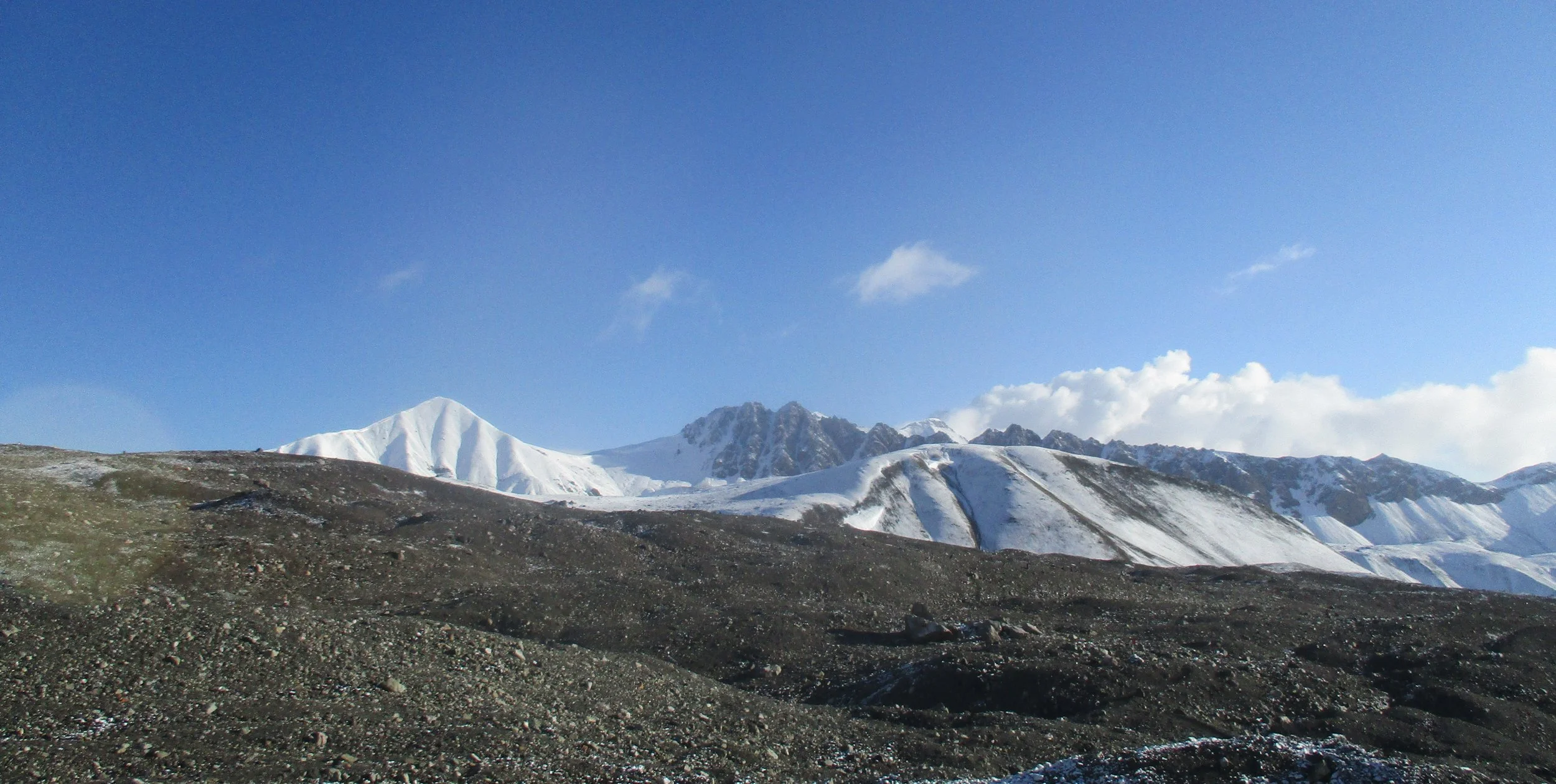
Nice view down the Glacier and out into the plateau but the highest point of the range was an unlikely looking pile of scree further beyond,  perhaps about 80 meters higher than the one I stood on (approx 4600 m). 

Nice view down the Glacier and out into the plateau but the highest point of the range was an unlikely looking pile of scree further beyond,  perhaps about 80 meters higher than the one I stood on (approx 4600 m). 

Last trip was to the Ala Archa National park , just outside Biskek. This is the Ak-Sai Glacier  just above the Racek pass. I had meet Mike from Switzerland  that morning and he told me of his prposed day trip to the Ala Archa National park…

Last trip was to the Ala Archa National park , just outside Biskek. This is the Ak-Sai Glacier  just above the Racek pass. I had meet Mike from Switzerland  that morning and he told me of his prposed day trip to the Ala Archa National park so I jumped on board his plan. As we drove in to the car park  at 2100 m (quite a difference driving to a mountain rather than riding to it) I spotted a likely looking peak to climb and made an all out bid to get up and back in the remaining daylight hours - summit fever so to speak. I had no idea what the mountain was or the height but finding a map later it turned out to be Ucitel 4530 m which left me rather pleased , a 2400 m ascent and descent in 7 1/2 hours. The payment came later though, 2 days of very sore legs and feeling rather exhausted.

Climbing Uchitel

Climbing Uchitel

Climbing Ucitel

Climbing Ucitel

Big Plunge from the summit of Ucitel to the Ak Say Glacier 1300 m directly below

Big Plunge from the summit of Ucitel to the Ak Say Glacier 1300 m directly below

Summit Uchitel

Summit Uchitel

The steepness of the walls of this Glacial cirque is evident here

The steepness of the walls of this Glacial cirque is evident here

and here

and here

Camping site not far from Biskek

Camping site not far from Biskek

Good bye - partinfg shot

Good bye - partinfg shot

Nathan DahlbergComment
Highs and lows in the Pamirs
A new Mosque in Sary Mogol ,beneath the Pamirs - religion has made a small comeback since Soviet times and almost all the Mosques and church's I saw were very recently built. However on the whole neither the Kirghiz or Russian's populating the count…

A new Mosque in Sary Mogol ,beneath the Pamirs - religion has made a small comeback since Soviet times and almost all the Mosques and church's I saw were very recently built. However on the whole neither the Kirghiz or Russian's populating the country seemed particularly interested in religious activities. The Uzbek population on the other hand seemed more inclined to visible participation.


 Kyrgyzstan land of mountains

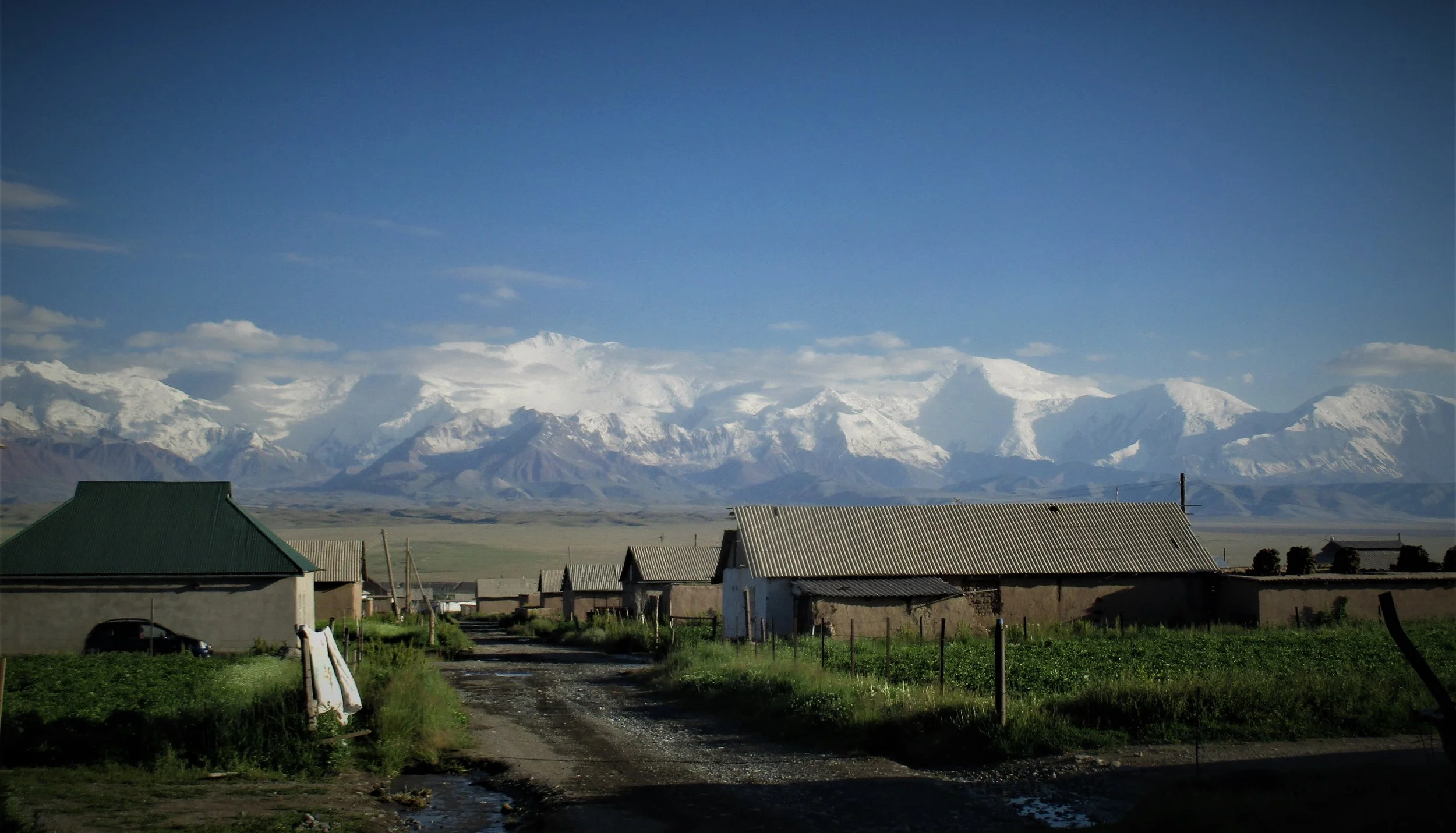
   Seemingly endless mountain ranges cross the country of almost every alpine variety. The greater ranges of the World are also represented with the Tien Shan that borders China to the North East and the Pamirs known colloquially as the roof of the World that border China and Tajikistan to the South east.  Both ranges have seven thousand meter peaks and the Tien Shan boasts both the beautiful Khan Tengri, one of the classic symmetrical peaks of the world and Pobeda peak one of the worlds more difficult major climbs. However the Pamirs are far more extensive as far as high peaks go and form a huge mountain wall between Tajikistan and Kyrgyzstan. Approaching them one see’s this icy white wall stretching from horizon to horizon.

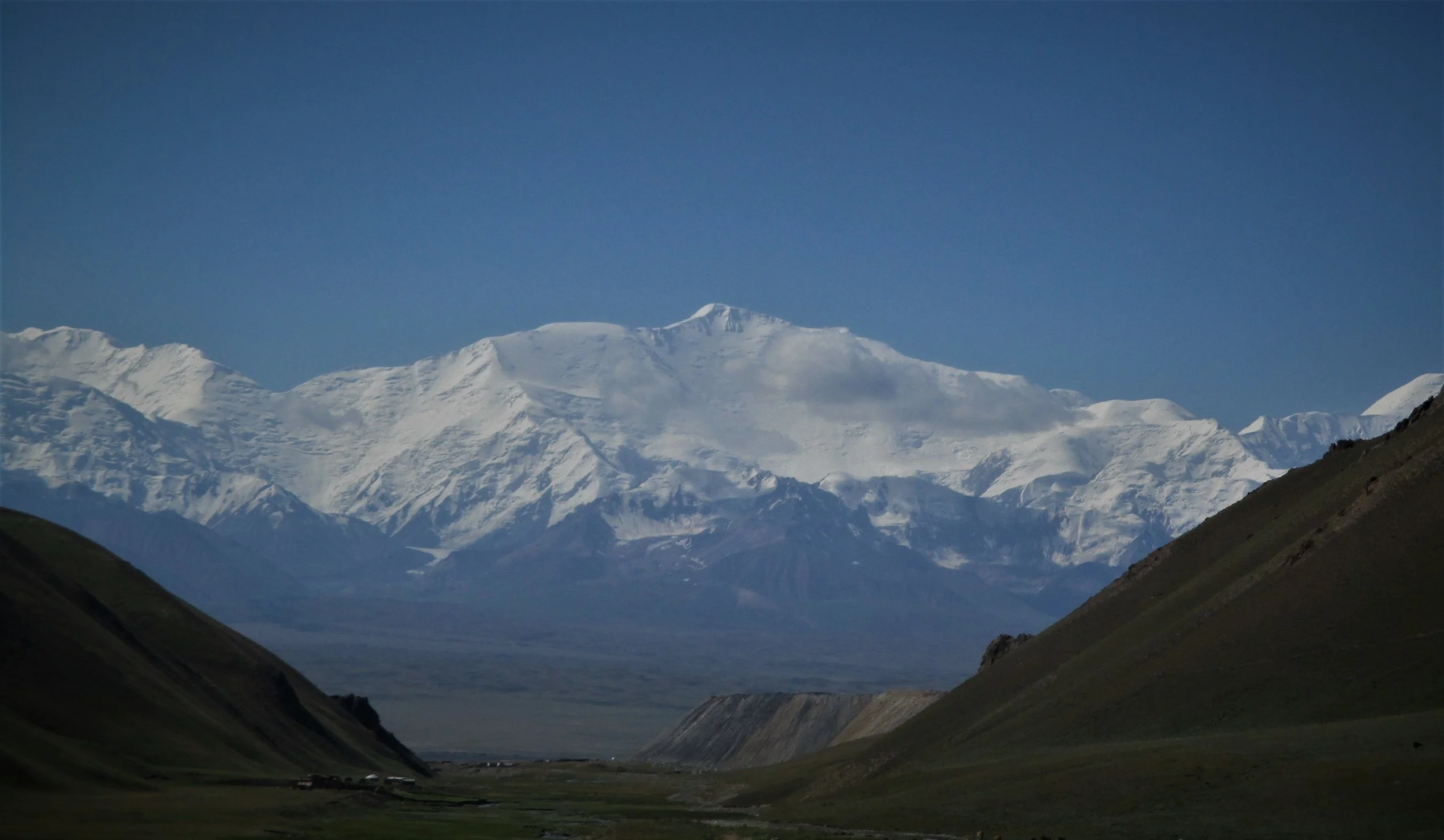
Peak Lenin at 7140 meters is the highest point on that border wall and the dominant feature. Its easy to access , and has the reputation of being an easy major climb – it has a rather more sinister reputation of being one of the most dangerous , indeed in 1990 the worst mountaineering disaster in history  happened here on its slopes when 45 climbers died in an avalanche. That not withstanding hundreds , indeed thousands will attempt the climb every year especially as it has no peak fees.

I spent a week in the area around Lenin but found the crowds rather off putting - I expected some people up there but it was my first experience of mass's on the mountain rather than mountain mass's. Fortunately if one stayed away from the main route towards Lenin peak which acted like a human magnet one had the whole place to oneself. Given the extensive glaciation it was sometimes rather difficult to travel alone and a partner or two would have been nice. Eventually I ran out of food and headed back to Sary Mogol to continue visiting Kyrgyzstan by bike.

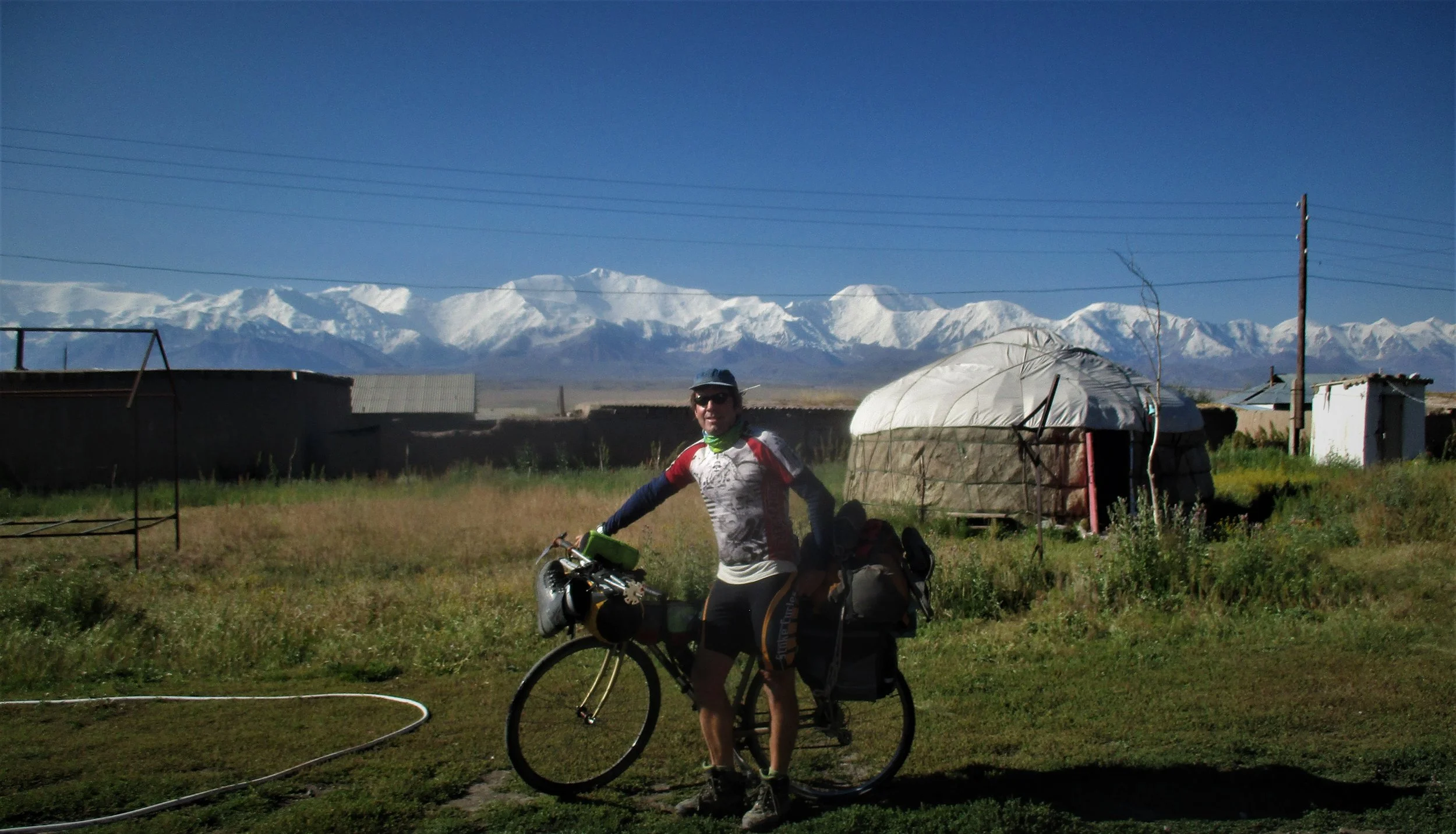
First view of the Pamirs was Peak Lenin from the top of the Taidyk pass (3600m)

First view of the Pamirs was Peak Lenin from the top of the Taidyk pass (3600m)

Sary Mogol

Sary Mogol

Climbing a high point of 4100m above Lenin B/C to look into the range

Climbing a high point of 4100m above Lenin B/C to look into the range

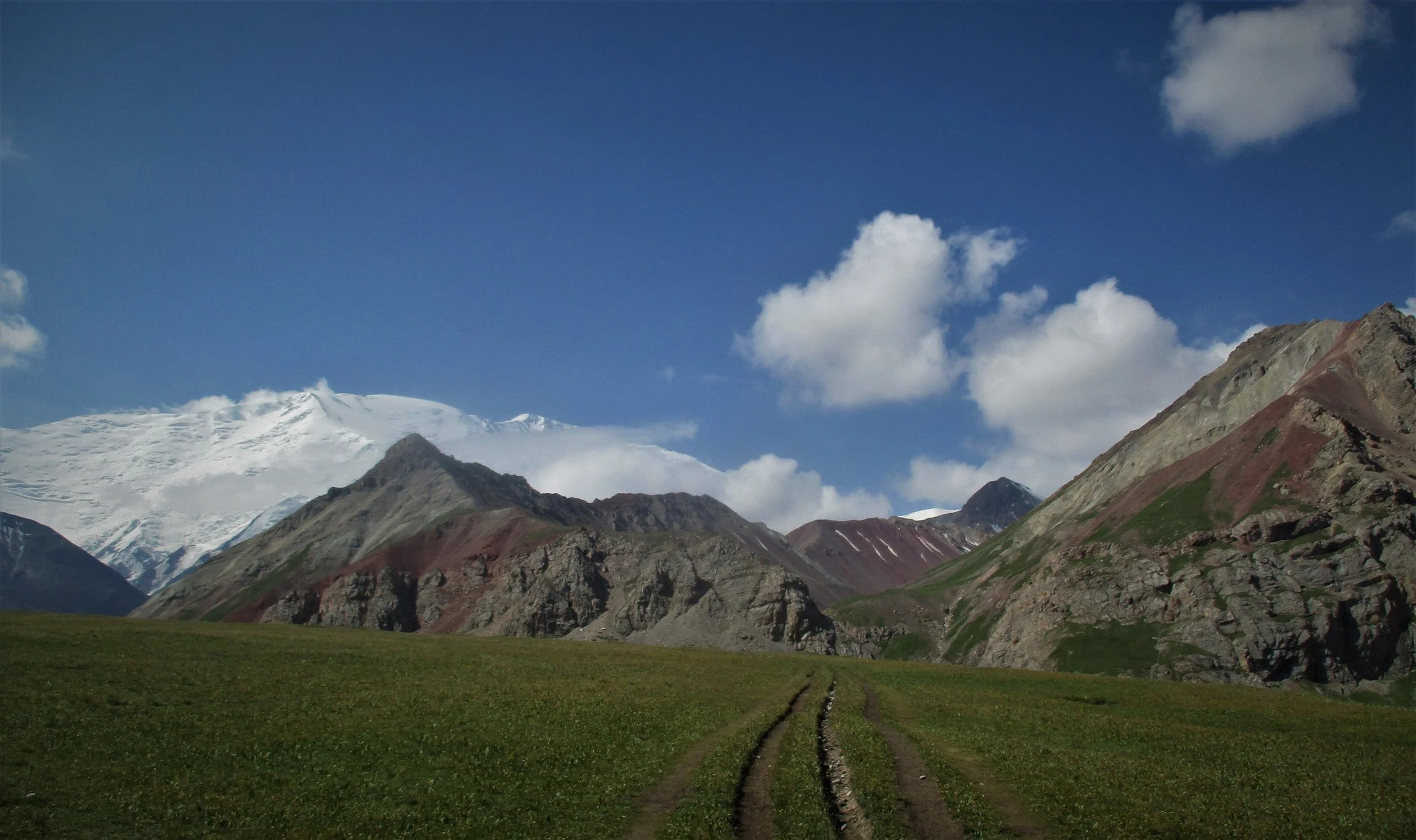
The ease of acess is evident here , a vechile track runs right to the base of Putasestvanikov pass - the gap in the middle of the picture. This pass leads over to the Lenin glacier.

The ease of acess is evident here , a vechile track runs right to the base of Putasestvanikov pass - the gap in the middle of the picture. This pass leads over to the Lenin glacier.

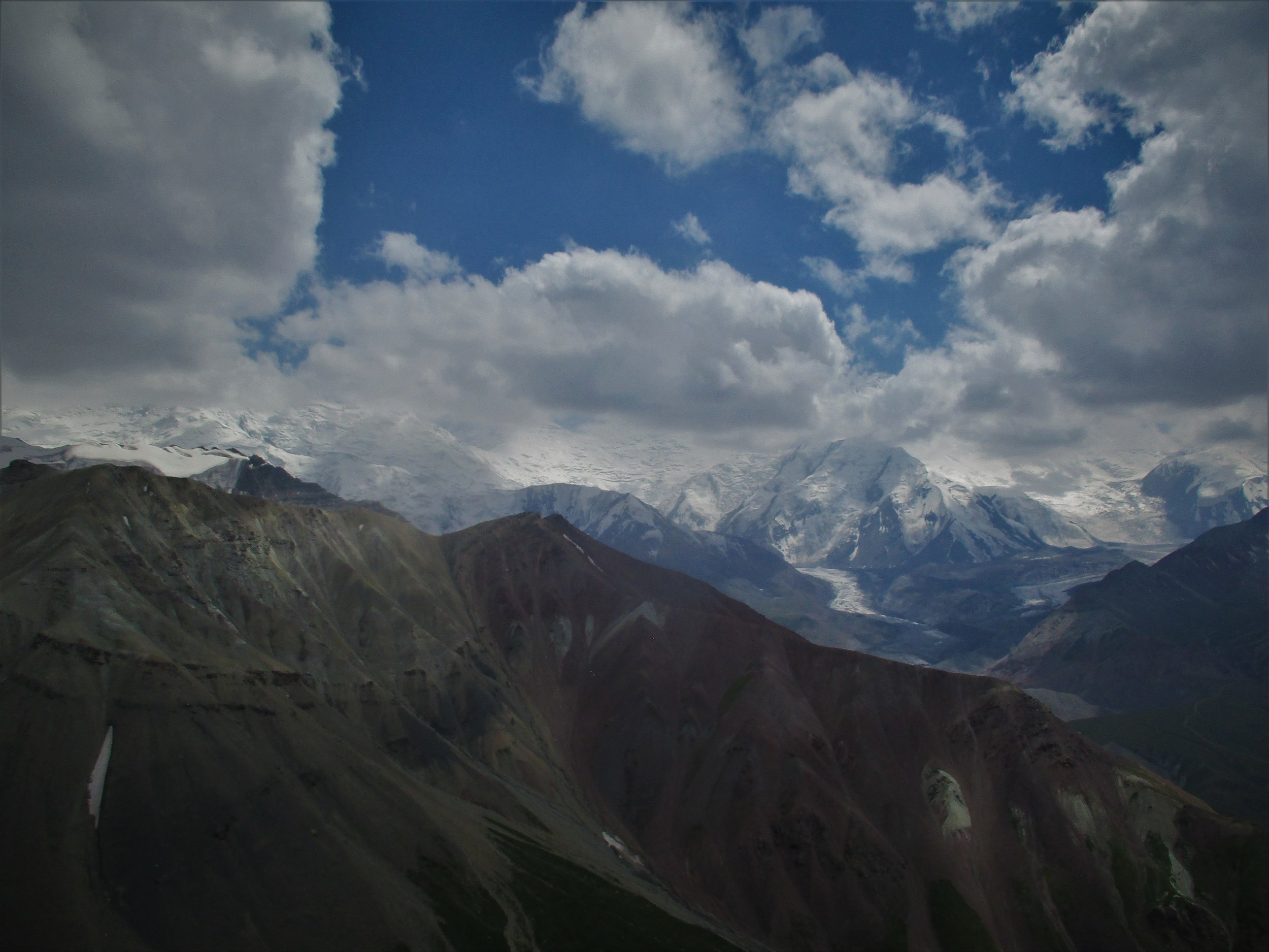
Peak 5120m from Lenin Advanced Base camp site - in fact the real base camp. I ended up climbing this peak 3 times by different routes, a straightforward walk with a rather loose ice cap on top.

Peak 5120m from Lenin Advanced Base camp site - in fact the real base camp. I ended up climbing this peak 3 times by different routes, a straightforward walk with a rather loose ice cap on top.

Ice cream peak 4695m , this summit afforded beautiful views to water sheds both East (LeninGlacier) and West.

Ice cream peak 4695m , this summit afforded beautiful views to water sheds both East (LeninGlacier) and West.

Dawn , the Temp at ABC was just above freezing so snow never settled.

Dawn , the Temp at ABC was just above freezing so snow never settled.

Looking West from the summit 5120m

Looking West from the summit 5120m

Looking South from summit 4695m

Looking South from summit 4695m

Northern view from 4695m

Northern view from 4695m

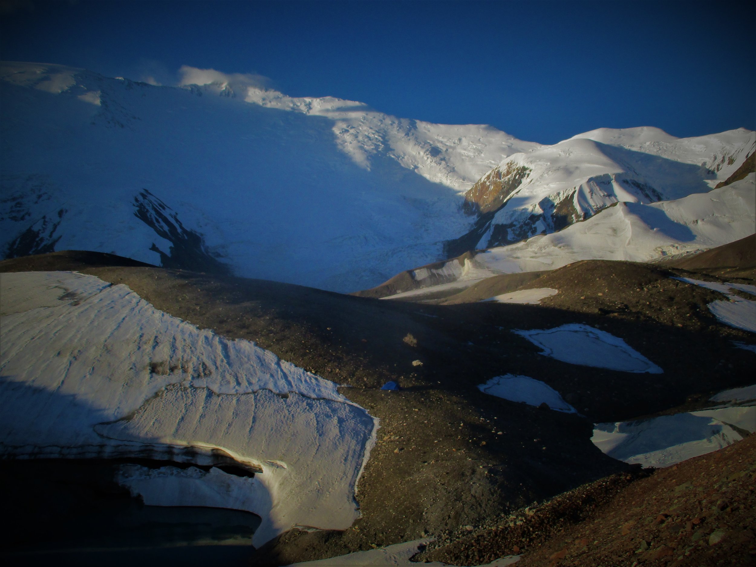
Lenin Glacier 

Lenin Glacier 

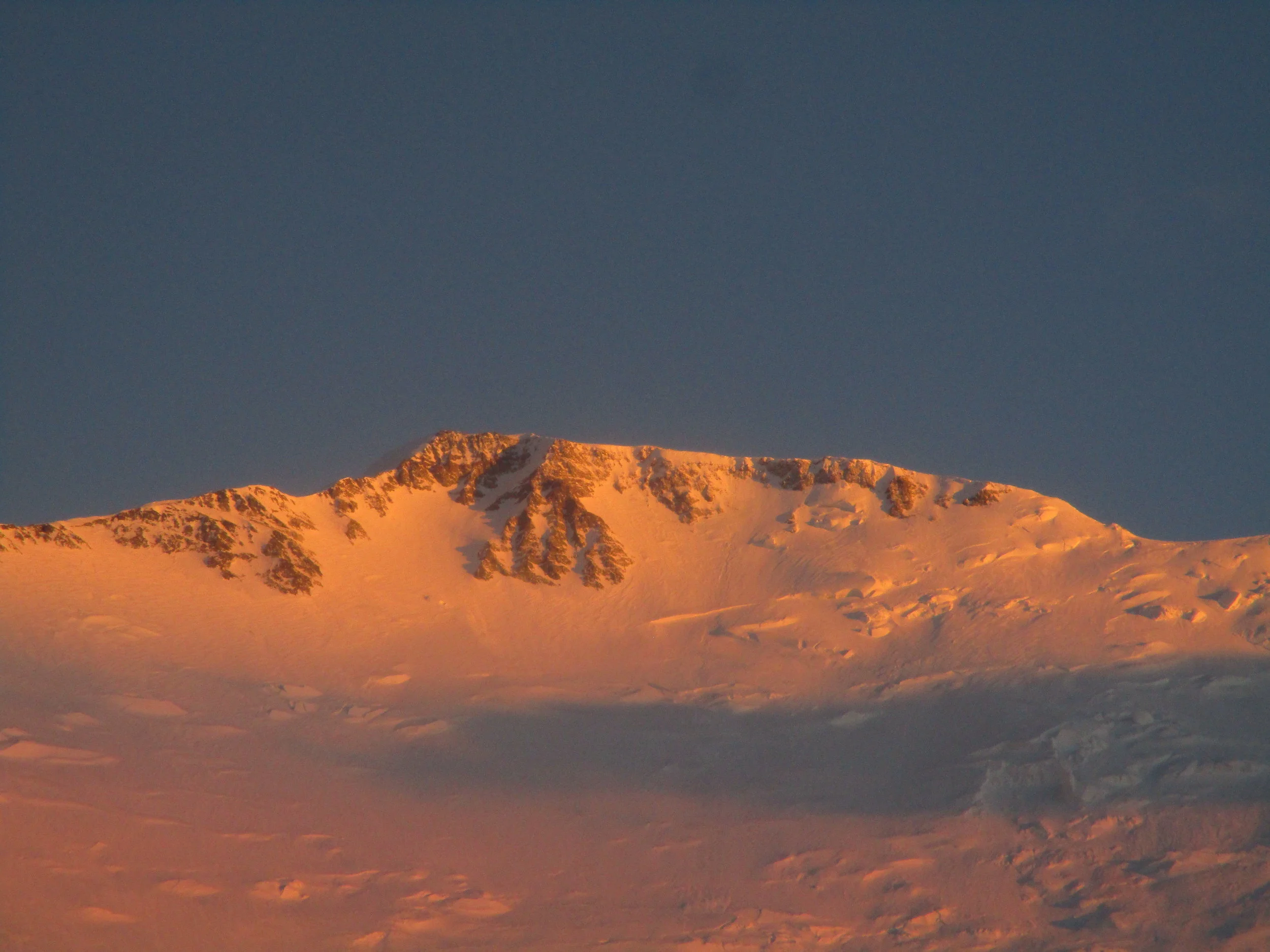
Lenin summit at dusk

Lenin summit at dusk

trying to access most of the 5000/6000 meter peaks around the area proved too daunting for me alone over fragmenting glaciers

trying to access most of the 5000/6000 meter peaks around the area proved too daunting for me alone over fragmenting glaciers

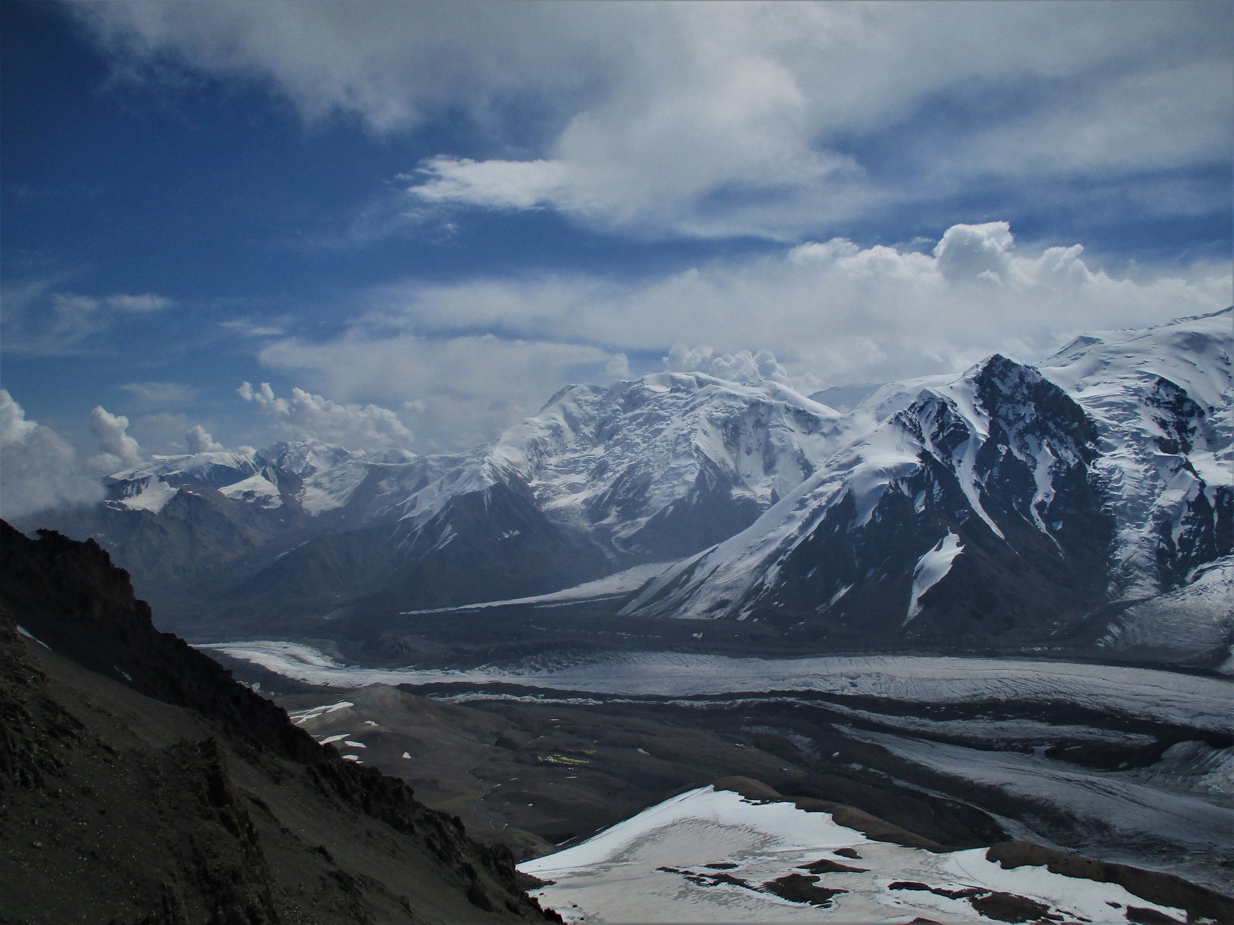
Looking north down the Lenin glacier

Looking north down the Lenin glacier

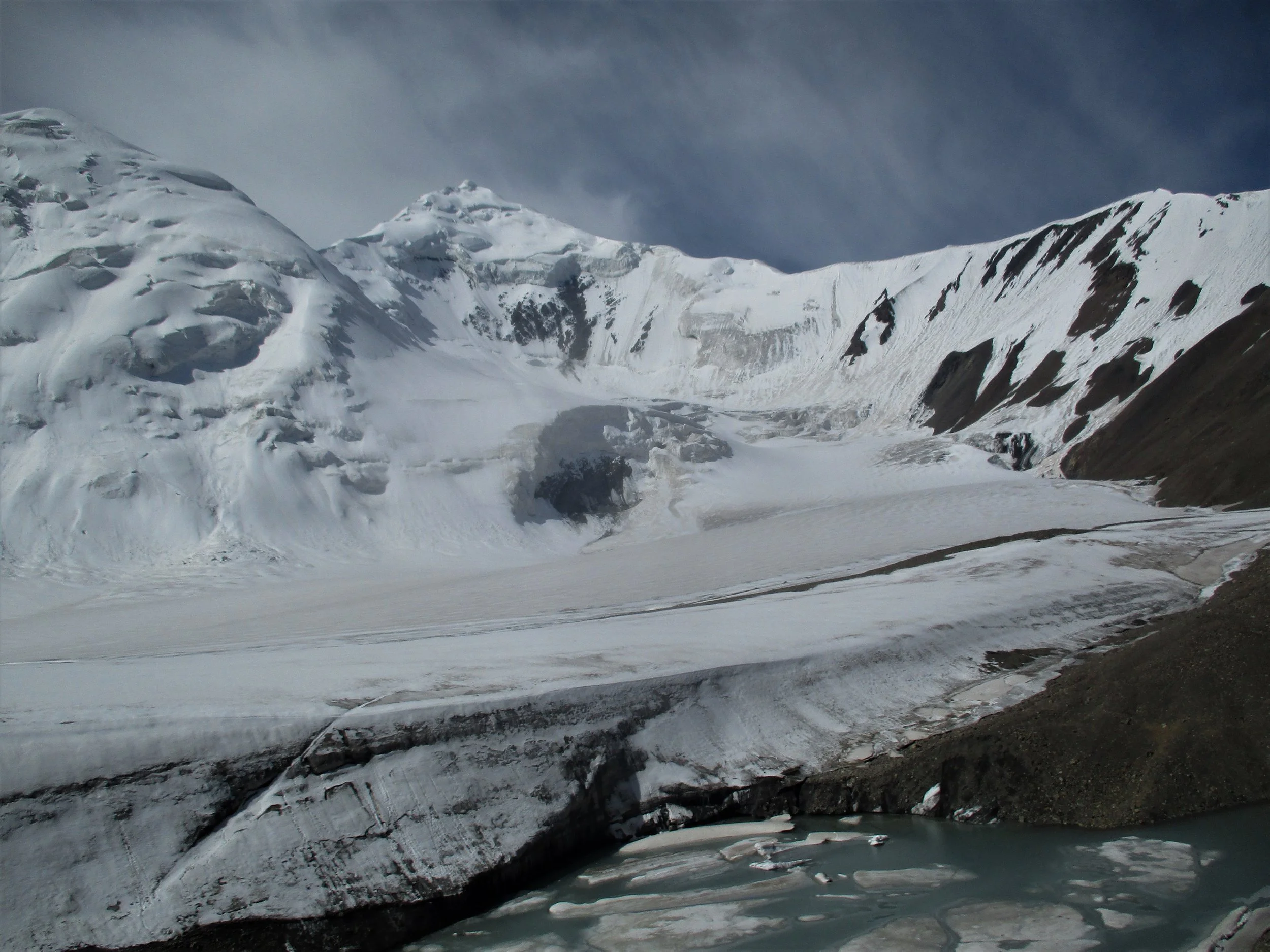
Favorite campsite was by these glacial pools.

Favorite campsite was by these glacial pools.

all done, leaving Sary Mogol and heading back to Osh

all done, leaving Sary Mogol and heading back to Osh

The last views of the Pamirs were as I headed up Jiptick pass , an old Soviet jeep track , now trekking track .

The last views of the Pamirs were as I headed up Jiptick pass , an old Soviet jeep track , now trekking track .

IMG_6593 (2).JPG
Kyrgyzstan reflections
Peak Lenin rises above  Tuplar Kul Lake at dawn

Peak Lenin rises above  Tuplar Kul Lake at dawn

The Pamirs reflected

The Pamirs reflected

Peak 5120 in double

Peak 5120 in double

Great roads

Great roads

but tough!

but tough!

best campsites

best campsites

Everywhere

Everywhere

cute kids

cute kids

of all ages

of all ages

and the odd snow man

and the odd snow man

Lots of rather big pass's

Lots of rather big pass's

of varying difficulties

of varying difficulties

some rather hard!!

some rather hard!!

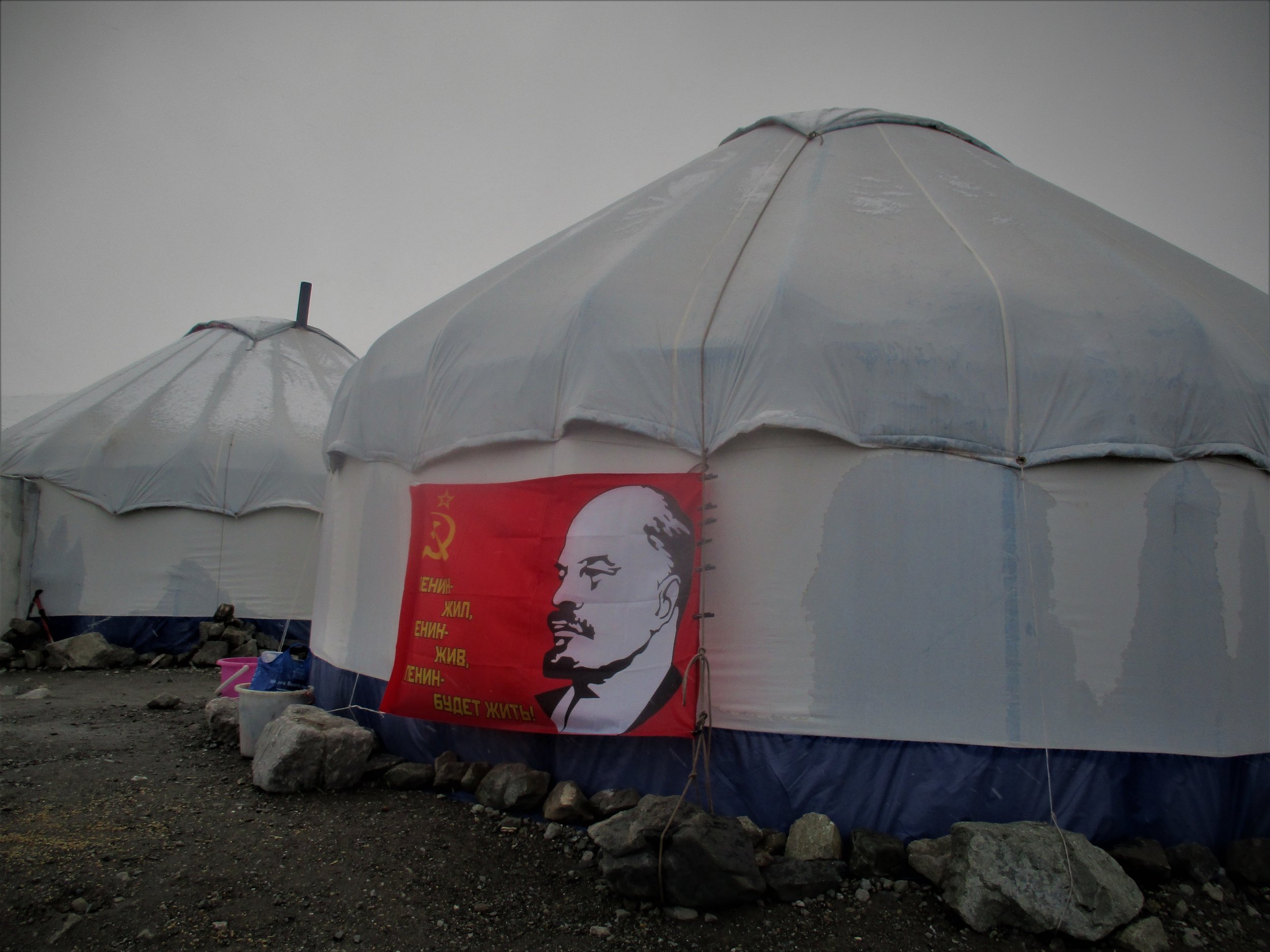
Lenin lives on 

Lenin lives on 

 as well - 100 years since the revolution !!!

 as well - 100 years since the revolution !!!

Alps in profusion

Alps in profusion

and alps

and alps

Endless Alpine mountyain chains 

Endless Alpine mountyain chains


alps to climb

alps to climb

alps with large pass's

alps with large pass's

Alps with ice walls and glaciers

Alps with ice walls and glaciers

Alps besdide the road

Alps besdide the road

and water , in ice

and water , in ice

streams 

streams 

rivers

rivers

more rivers

more rivers

and finally lakes

and finally lakes

IMG_6058 (2).JPG
Nathan Dahlberg Comments