The Heaphy track , guiding by accident!!
Loaded up for another day on the track with Co guide Jacob

Loaded up for another day on the track with Co guide Jacob

Another of our guides - all smiles Richard at the Heaphy beach

Another of our guides - all smiles Richard at the Heaphy beach

The Heaphy track - guiding by default!!

 The Heaphy track runs through some of the oldest terrain geologically in New Zealand and retains much of the the Flora and Fauna that was present (read birds and Native forest which we call Bush) from before breakup of the great continent Gondwanaland over 100 million years ago. A chance meeting with an old friend a couple of years back has led to a job with local company "Bush and Beyond" working as a walking guide on the Heaphy , at 80 kms considered the longest and most diverse of the "Great Walks" in New Zealand. Often , when thinking of guiding, one thinks of load carrying, cooking, health and safety and perhaps a little knowledge about the track and a few off track trips but primarily its a people orientated job and after a couple of trips its mainly the people who keep it interesting. As I have discovered theirs also a "walk bagging" fraternity who travel the World over doing famous walks!!  After a busy last 6 weeks walking thru bush the mind craves the more serene alpine world which at this moment I just get glimpse's of now and again in the distance!!

A stunted flowering Rata Tree hugs the rocks seen during one of our side trips up Mount Perry,

A stunted flowering Rata Tree hugs the rocks seen during one of our side trips up Mount Perry,

A short run alone thru bush led to this opening revealing the vast Tasman wilderness area.

A short run alone thru bush led to this opening revealing the vast Tasman wilderness area.

The Tasman sea at the Heaphy river mouth.

The Tasman sea at the Heaphy river mouth.

The Drunken sailor and the Dragons teeth. These are viewed from Perry saddle hut , about as close as one gets to mountains on the trip thru.

The Drunken sailor and the Dragons teeth. These are viewed from Perry saddle hut , about as close as one gets to mountains on the trip thru.

veiw from Mt Perry

veiw from Mt Perry

Starting out from Collingwood , Golden Bay early in the morning

Starting out from Collingwood , Golden Bay early in the morning

Whilst most of the huts are modern lodges , Gouland Downs hut remains a piece of history.

Whilst most of the huts are modern lodges , Gouland Downs hut remains a piece of history.

A million year old column

A million year old column

Ancient limetone has been water worn into numerous caves

Ancient limetone has been water worn into numerous caves

Dense bush in the Enchanted Forest

Dense bush in the Enchanted Forest

The tussock covered Gouland Downs

The tussock covered Gouland Downs

The Gouland Downs looking back to the mountains. 

The Gouland Downs looking back to the mountains. 

Giant ferns

Giant ferns

Ancient Forest

Ancient Forest

Giant Rata trees looming over the Heaphy river

Giant Rata trees looming over the Heaphy river

Mount Inaccessible seen thru a cloud break from Mount Perry

Mount Inaccessible seen thru a cloud break from Mount Perry

Isabelle and Leo make freinds with a Gannet back in Motueka

Isabelle and Leo make freinds with a Gannet back in Motueka

Nathan DahlbergComment
2018 - Happy New Year and a final mountain jaunt.
25498172_1690059501039400_6948837758045574206_n.jpg

Finale - last trip of the year , up Mt-Tapuaenuku with Carl , Elliot and Ashley.  Another great trip to the Monarch of the upper South Island.

IMG_20171104_193148 (2).jpg

At home with Linna, Isabelle and Leo

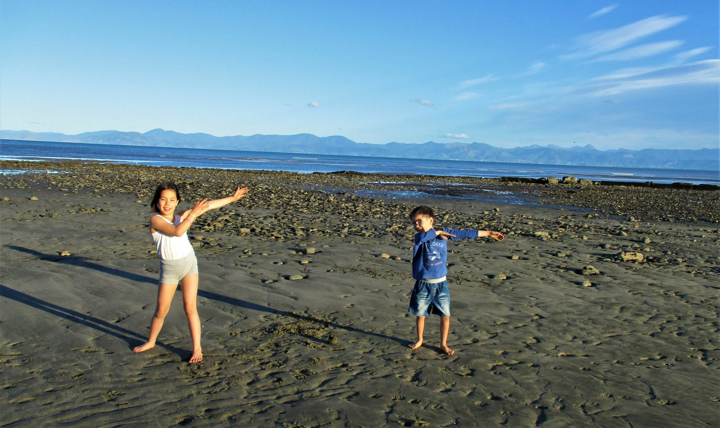
On the beach , just a Kilometer from home where we spend alot of summer!!

On the beach , just a Kilometer from home where we spend alot of summer!!

image1.JPG


Below , Pictures from the Trip to Tapuaenuku

20171217_065526.jpg

The day after Tapuaenuku, Carl and I went up Point 2411m on the ridge West of the Hodder river. Unfortunately I had lost my Camera and Carl's phone lost its power and we only got a few shots on way up. The view from the top was one of the best Mountain views I have seen (no photos unfortunately) . To the West river valleys curled in all directions and Mt Gladstone looked rather rocky - and another peak 2578m to South East looked outright ornery . Almost the whole Inland Kaikoura range from South to North was visible which gave a great indication for conditions of the traverse I'd like to make when a few free days come up. But above all was Tapuaenuku - you never really see it in its entirety when you climb from the Hodder but from 2411m it was the absolute Monarch reducing both Mitre and Alarm to second rank. It filled the whole eastern horizon Buttress's , Pinnacles , gully's , ridges - real Character.


Sunning on the warm summit before the Thunderstorms rolled in.

Sunning on the warm summit before the Thunderstorms rolled in.

Mt Alarm

Mt Alarm

Looking West to Mitre peak

Looking West to Mitre peak

The trip up the Hodder river canyons takes 4 to 5 hours and up to 80 river crossings before arriving at the Hodder hutsite below the mountain.

The trip up the Hodder river canyons takes 4 to 5 hours and up to 80 river crossings before arriving at the Hodder hutsite below the mountain.

We left late and I'm searching in my bag for lights on the way up the canyon.

We left late and I'm searching in my bag for lights on the way up the canyon.

Morning view North from Huts - to the Richmond ranges.

Morning view North from Huts - to the Richmond ranges.

View to the East and South America over the Pacific from the Summit 

View to the East and South America over the Pacific from the Summit 

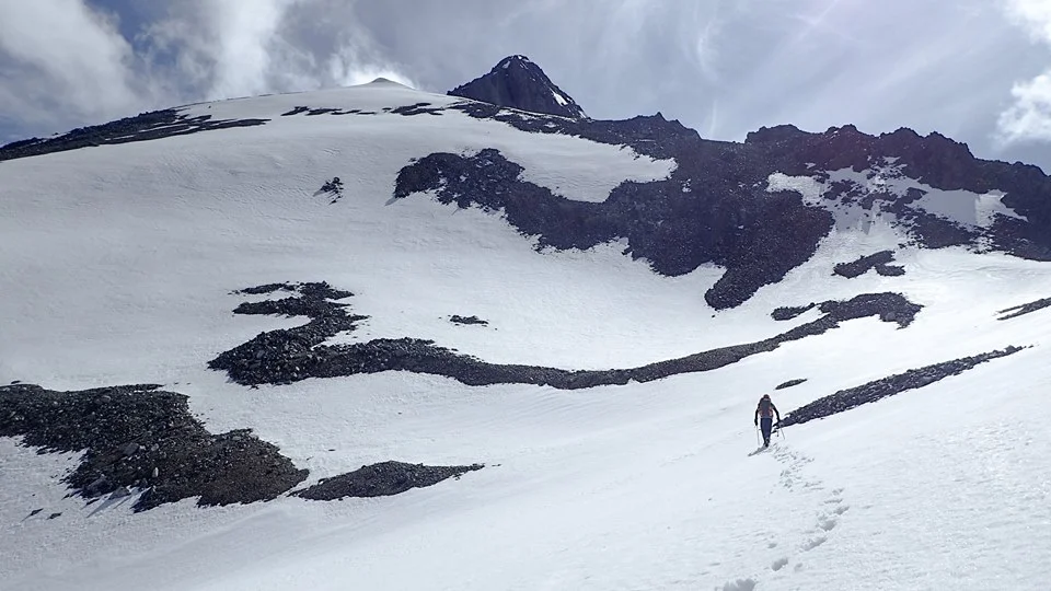
Carl Heading to the Summit Pyramid which we attacked in somewhat unorthodox style by a series of snow gullies on the West Face.

Carl Heading to the Summit Pyramid which we attacked in somewhat unorthodox style by a series of snow gullies on the West Face.

Black and White

Black and White

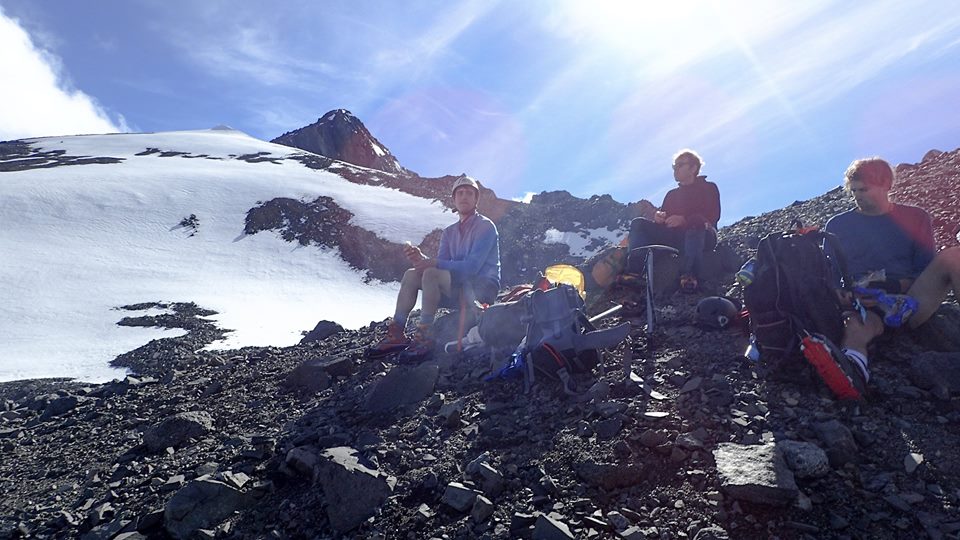
Resting before the final part of the climb.

Resting before the final part of the climb.

Final Pyramid rising about 200 vertical meters above.

Final Pyramid rising about 200 vertical meters above.

looking Noorth from the summit.

looking Noorth from the summit.

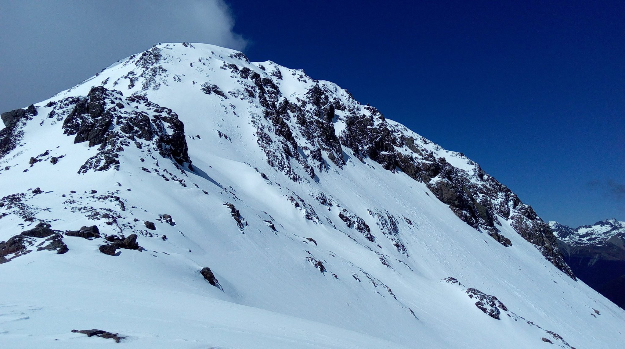
the striking final pyramid.

the striking final pyramid.

Climbing the long snow coulior that lead to the small resting plateau.

Climbing the long snow coulior that lead to the small resting plateau.

On descent.

On descent.

Nathan Dahlberg Comment
Spring Flings In the top of the South
Elliot , Vicho and Sergio celebrate with snowflakes on the summit of Angelus

Elliot , Vicho and Sergio celebrate with snowflakes on the summit of Angelus

Spring 

Its been almost 2 1/2 months since returning to New Zealand and spring is a good season to be out. This year the weather has been warmer and more settled than the last , perhaps not a perfect spring but much easier to get out nonetheless.  With Mount Arthur still under a snowy veil it provided ideal training once or twice a week with some trips down to the Nelson lakes when I can manage and  I've almost always had company this year! _ - another change from the last when almost every trip was solo.  There is a small band of keen outdoors types to head out with often giving not only company but a different perspective of the mountain's. Soon I will be flat out with my job as walking guide in the Kahurangi National park over the summer but still hoping for a few more quick mountain bash's before been engulfed by "bush" tramps as we call forest hikes here down under.

IMG_8375.JPG

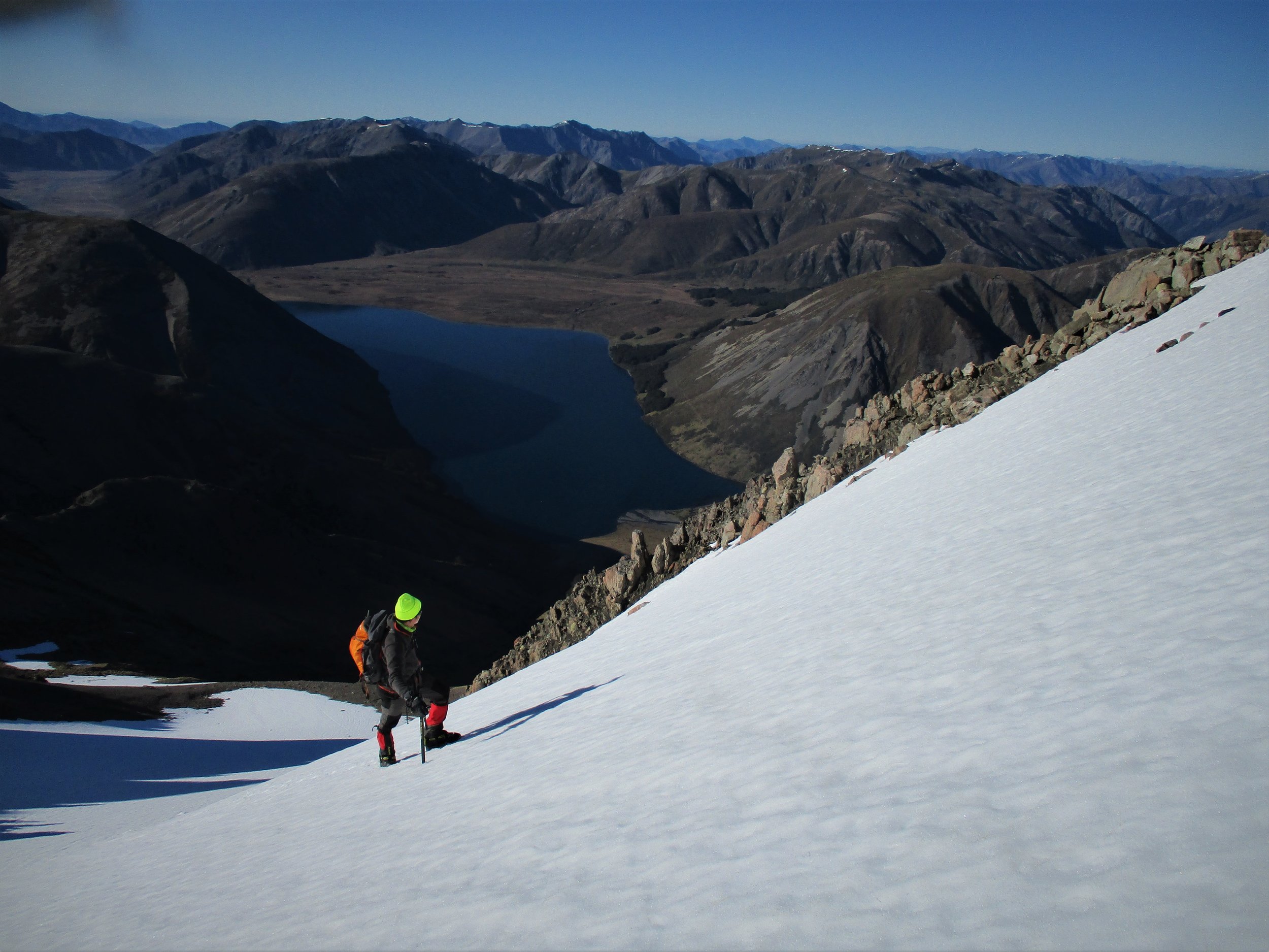
Segio on Cyrstal peak above Lake Tennyson 

Heading up the Turk ridge 

Heading up the Turk ridge 

Descent of Dora 

Descent of Dora 

Elliot , glissading down Dora

Elliot , glissading down Dora

River crossings , a regular feature of local mountain access 

River crossings , a regular feature of local mountain access 

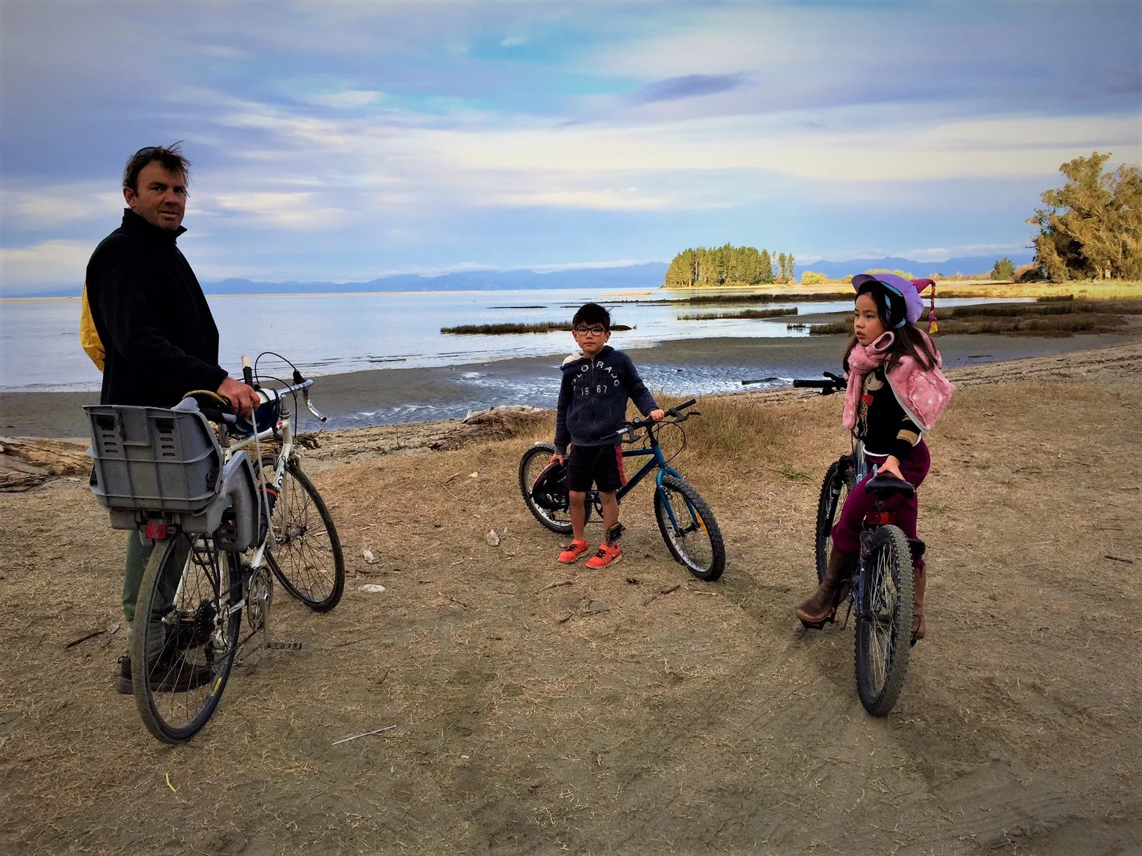
Acess to the river valleys - by bike!!

Acess to the river valleys - by bike!!

Nelson lakes peaks in Spring 

Nelson lakes peaks in Spring 

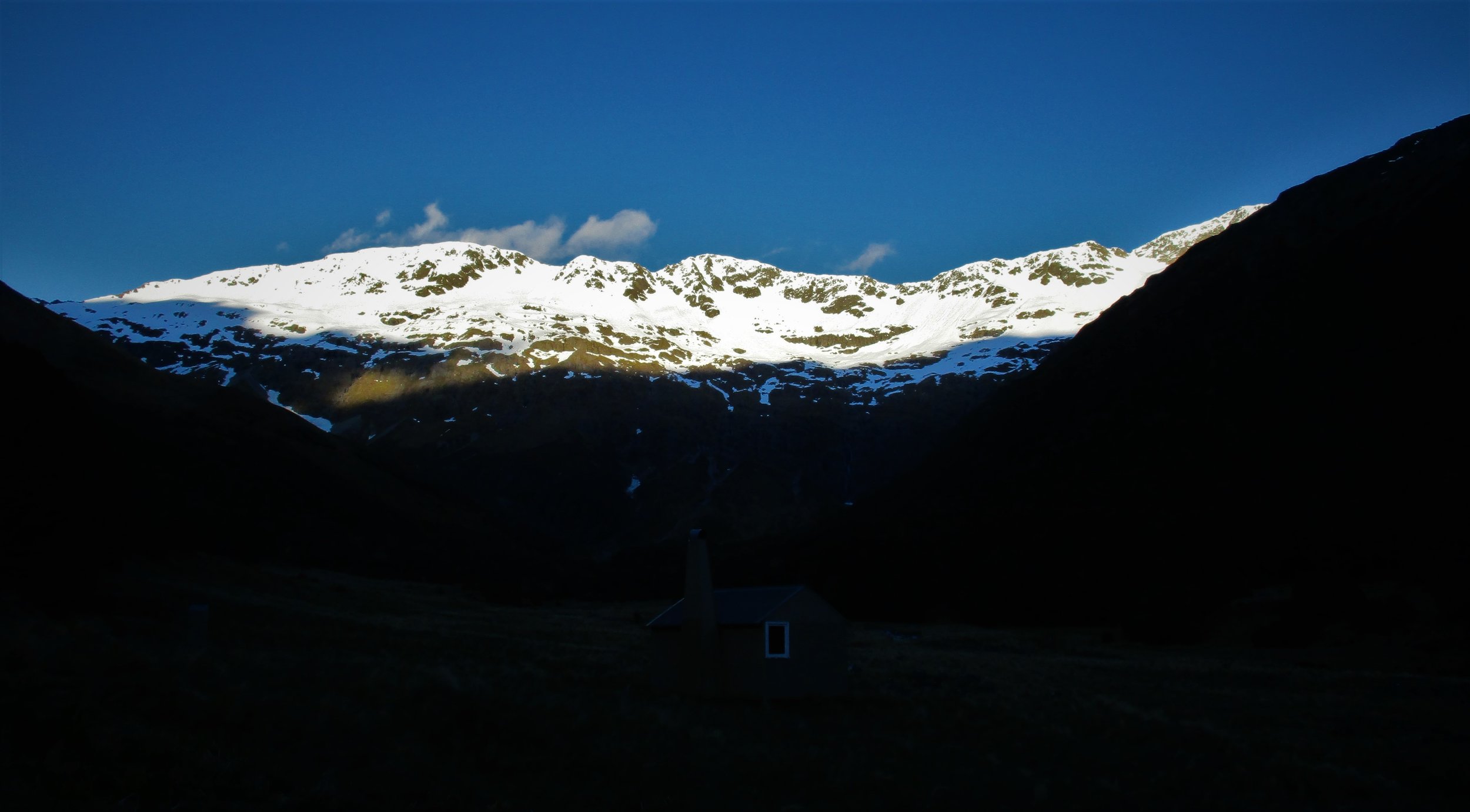
Paske Hut , below a mounatin wall

Paske Hut , below a mounatin wall

Very striking Mount Paske

Very striking Mount Paske

Peak 1926 sports an array of small avalanches , traversing the ridge with Ashley we had either loose rock or snow to contend with

Peak 1926 sports an array of small avalanches , traversing the ridge with Ashley we had either loose rock or snow to contend with

South face of Angelus

South face of Angelus

A view on the tops

A view on the tops

And from below

And from below

Heading out , early in the day

Heading out , early in the day

Coulior climbing

Coulior climbing

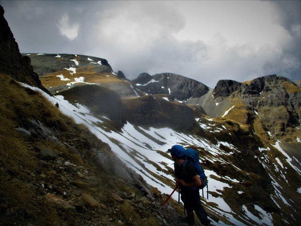
Kaydin on the local peaks , Kahurangi National park

Kaydin on the local peaks , Kahurangi National park

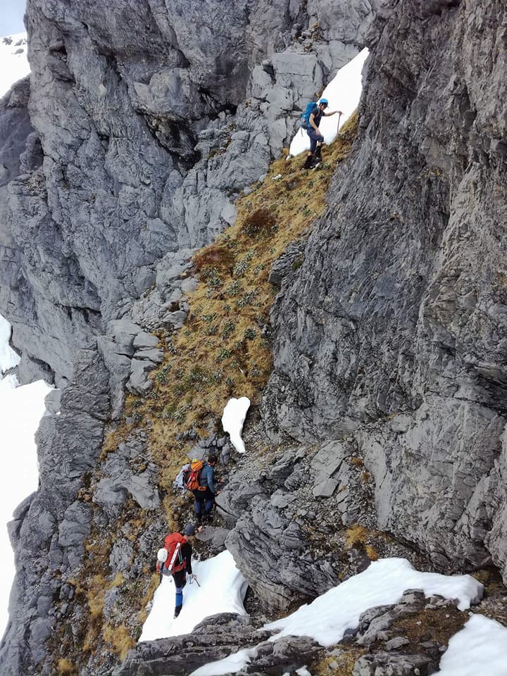
With Kaydin and Ashley on tricky steep snow grass country. 

With Kaydin and Ashley on tricky steep snow grass country. 

In the Limestone Karst lower down

In the Limestone Karst lower down

Finding a Pinnacle

Finding a Pinnacle

Higher up

Higher up

passing the Sharks tooth 

passing the Sharks tooth 

Getting snowed in during a late winter storm

Getting snowed in during a late winter storm

early spring on the tops

early spring on the tops

Looking down to Crystal peak at the end of Lake Tennyson

Looking down to Crystal peak at the end of Lake Tennyson

Above Lake tennyson Leo and Isabelle go exploring - gathering rocks indeed

Above Lake tennyson Leo and Isabelle go exploring - gathering rocks indeed

Lovely Mt Una  at sunset 

Lovely Mt Una  at sunset 

Nathan DahlbergComment